Stocks Reservoir
The Gisburn Forest is unusual in the wider area of the Forest of Bowland in that it is a forest – that is it has trees! Lots of them. Those readers familiar with the Forest of Bowland will know that much of it is characterised by a lack of trees – the term “forest” referring to the area’s past as a royal hunting park.
The location at the start of the walk lies close to Lancashire’s lost village of Stocks. Indeed the ruins of the old church can be seen to the rear of the car park. In the 1920s as Blackpool was becoming more and more popular attracting millions of visitors it was facing a problem with water supply. To meet this situation the Fylde Waterboard constructed a dam and flooded the head of the Hodder Valley to create the reservoir. The project required an army of over 500 men at its height. Although outside the area of flooding the church, vicarage, school and a number of farms were demolished to protect water quality.
Now this whole area – forest and reservoir is an outdoor playground cared for by United Utilities and the Forestry Commission. Apart from the place’s obvious attraction to walkers there is a fishery on the reservoir while the Forest of Gisburn is a magnet to mountain bikers. (The Hub Café and Cycle Hire centre is passed on the way to School Lane car park)As will be seen on the trail this is one of the best places in Lancashire for bird watching with wildfowl and waders out on the water and then an impressive range of species attracted to woodland habitats.
The walk below is superb circuit in one of the most attractive parts of the county – if not country.
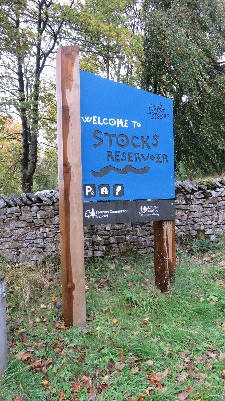
Start: Forest of Gisburn. School Lane Car park. BB7 4TS (Nearby) GR SD731566
Fact file:
Distance 7 miles 11 k
Time: 3 - 4 hours
Summary: Easy with two pronounced gradients.
Map: OS OL41 The Forest of Bowland

Map by kind permission of Johnston Press
Directions:
1. This route is very well waymarked all the way round the reservoir.

Facing the reservoir take the track leading from the right hand corner of the car park. The first feature on worth visiting is a birdwatcher's hide on the left of the path. Here you'll quickly come to appreciate the importance of Stocks as a nature site. From the hide continue along a broad track to reach a stone bridge over Hasgill Beck. The trail climbs steadily to the ruin of New House

which is reached 800yds after the beck.
2. Before reaching the building turn left on a broad track. The trail breaks out into open pasture and sweeps down to the River Hodder. After crossing the footbridge

the path continues over pasture to a kissing gate. Through it turn right. For the next section of the walk you will be out of sight of the reservoir as you climb up alongside Copped Hill Clough and then turn left onto a broad track leading around Eak Hill.
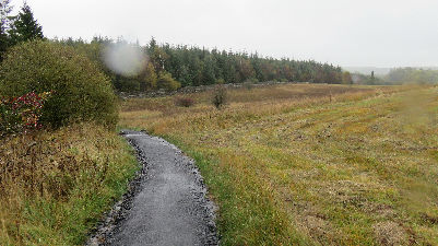
3 This track provides excellent walking for the next two miles. The route gradually returns to the shore.

As the track nears the dam it reaches the fishing lodge and a complex of utility buildings. From the lodge the trail takes a service road

which passes through a "Life for Life" memorial forest before reaching the drive of the imposing Stocks Board House. Here the way leads onto the dam. This holds back 12 billion litres of water. At the far end there is a memorial plaque commemorating the opening of the Reservoir in 1932. To the right of the dam take the service track to the end

and turn left.
4 Keep ahead on a footpath with the reservoir on your left. As you gain a little height you will have fine views across the water towards the Bowland Fells. After passing by a conifer plantation the trail leads down to the road.
Turn left for the car park on a concessionary path parallel to it (though a right turn will take you to the chapel at Dalehead - a worthwhile diversion.) After the causeway a path to the left
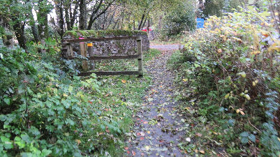
will take you through shoreline woods back to the car park.
Stocks Café and Tackle Shop offers light refreshments from March to the end of October. When the Dotcom Walkers checked the route we received a very warm welcome. In the close season the café will open for walking groups by arrangement. (See www.stocksreservoir.com )
Printer friendly version
