
Distance: 5.5miles
Grade: Mainly easy - with two short climbs
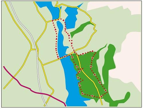
Map by kind permission of Johnston Press
Directions:

This will take you to Horrobin Lane close to the primary school.
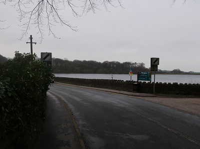
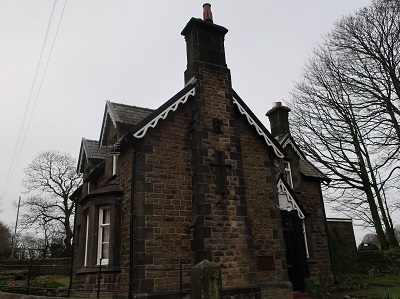
Turn left and cross the causeway separating the Lower and Upper Reservoirs. But for this feature - necessary to ensure there was convenient access from Chorley to the village - there would be just one reservoir. At the far end in front of Horrobin Cottage turn right onto a service road. (Horrobin Cottage was built as a waterman's residence - note the symbol of the Liver Bird on the chimney breast.)
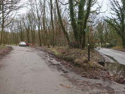
Keep on the road as it passes a drive to a house on the left and crosses an overflow channel

to bring you in another half mile to Knowles Lane. Turn right onto the causeway dividing

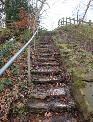
Anglezarke Reservoir from Upper Rivington Reservoir. At the end keep ahead on a footpath to climb alongside the giant's staircase

that is an overflow from the Yarrow Reservoir. The path climbs up to the embankment below the reservoir.

Here turn right on a broad path that gently descends a junction of tracks in 600yds.

Turn left and soon after turn right on a footpath through a kissing gate that initially runs alongside a small stream. Follow this to a flight of steps
and ascend to cross a pasture to reach Rivington village.

Pass the green complete with stocks to join Rivington Lane and then branch left onto a broad avenue
leading to Rivington Hall Barn. (A right turn here will take you back to the House Barn if time is running short.) As you reach the car park pass to the left of the barn

and then keep ahead to a wooden gate.

Now in woodland go through the gate continue to the next junction of tracks.

A left will take you to the Terraced Gardens and is a way up to the Pigeon Tower. For the main route keep ahead for a little over 600yds on a well-made track. At a junction keep ahead for a direct route to Liverpool Castle or go left to extend. On the extended route continue to a metal gate, turn right

and descend to Rivington Lane.

Cross (close to a car park) and turn right at a junction of tracks. This will bring you to the replica ruin of Liverpool Castle.

Commissioned by Lord Leverhulme in the early part of the 20th century. Delays in its construction meant it was not finished at the time of his death. From the castle follow the shore line path with the reservoir on your left for a little under ½ mile until you arrive at the Go Ape amenity leading you back to the start.