
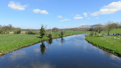
Great Mitton is situated close to the confluence of the Hodder with the Ribble. This walk allows you to explore attractive reaches of both rivers with a chunk of attractive countryside between.
Distance: 7 ½ miles 12k
Grade: Easy

Directions:
keep to the right and continue next road junction
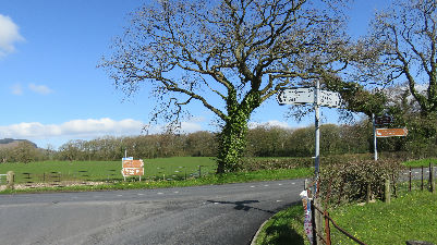
and turn left. The road gently descends to the River Hodder. As you cross the bridge look downstream to see the old Hodder Bridge
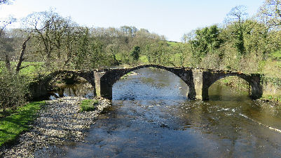
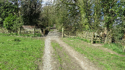
sometimes referred to as "Cromwell's Bridge" as it is surmised Ollie may have used it on his way to engage the Royalist army at what became known as the Battle of Preston. On the far side of the river turn right on a broad track. The next part of the walk follows the river from the Lower Bridge to the Higher Bridge. It is one of the most delightful riverside ambles in the country. The track edges alongside a broad meadow and as it climbs the slope leading to Hodder Place - the prominent building in sight from the riverbank - enters woodland.
After passing the rear of Hodder Place the route descends to a substantial stone bridge.
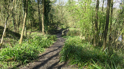
Over this keep ahead at a junction of paths and continue on a narrower track in denser woodland. The path rises to an ancient cross

and then makes its way upstream with wooden footbridges at regular intervals.

Half a mile after Hodder Place the path reaches meadows below Rhyddings Farm

and then re-enters woodland

on the final stretch to Higher Hodder Bridge. After edging round the wall of a property the path arrives on a lane.

Turn right and cross the bridge.

After crossing it the path which is none too distinct follows the field boundary alongside a huge slurry pit and continues down a slope to a junction of ways.

Keep ahead always aiming for the prominent spires and turrets of Clitheroe on an eastward course. After crossing an airfield for a model flying club
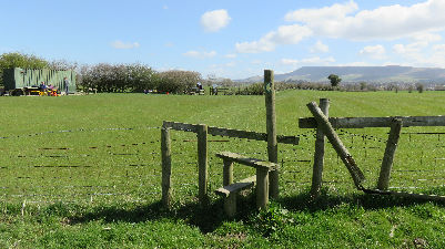
and then a stone stile in a remnant of a stone wall
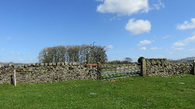
the path bears left to a gate leading onto the lane.
Turn right and then at the junction with New Lane (B6243) turn left and descend to the River Ribble.

and continue on a narrower path close to the river.
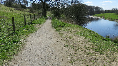
Keep on it as it climbs the embankment and then edges round a field now away from the Ribble. The enclosed path takes you to a kissing gate. Through this turn left onto a farm road and then right onto a service road which leads past a waste disposal site on the left.

Keep on the road as it takes you to Fishes and Peggy Hill Farm. After passing a farmhouse on the right the way cuts a corner through a kissing gate on the right in front of the barn.
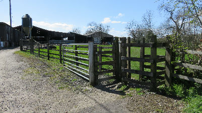
(It may be easier to keep on the farm track here.) Continue to the right of the barn as you leave the yard to enter riverside meadows.

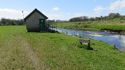
The way passes a utility bridge on the right and then a small utility building
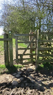
then bears left away from the river to cross a wooden bridge obscured in most seasons by the hedgerow. Through this bear right climbing to top of a rise. Go through a kissing gate
and continue with a fence line on the right which encloses woodland. After a stile (broken at the time of writing) bear right to descend to the river and then at the rear of the Aspinall Arms follow the path alongside outbuildings to reach Mitton Road. Turn right cross the river
keeping well to the right as there is no pavement to Mitton Hall and Church Lane.