
Fact File:
Time: 2 hours
Maps: OS Explorer 286 Blackpool & Preston
Map by kind permission of Johnston Press

Follow the side of a field
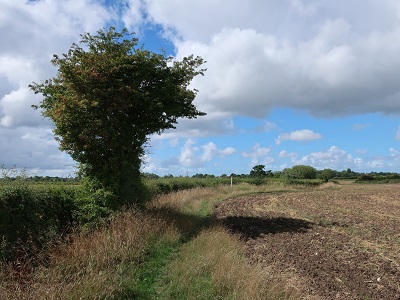
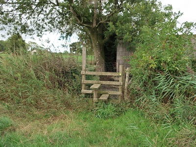
to arrive on Haunders Lane. Turn right and then in 50yds turn left through a gap in the hedgerow

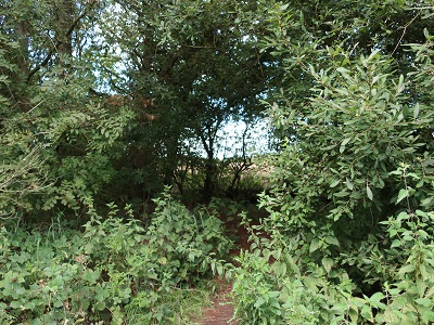
to join a narrow path leading along the right side of a field. After passing through a thicket
cross a plank bridge
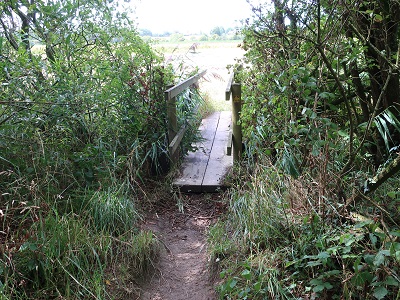
to reach a farm track. Turn right.

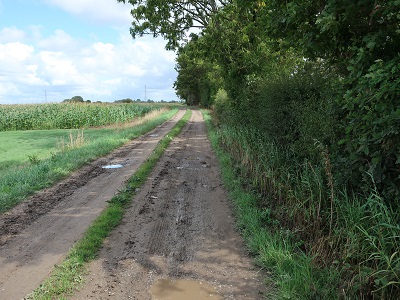
Keep on this to reach Marsh Farm noting the closer it gets to the farm the less defined it seems to become. (Normally it works the other way round!) After passing a green house on the left the route

and soon reaches the farm drive with the house and yard to the left. Turn right on the drive
and follow it as it bends to the right passes Hannings Farm (Marked "Much Hoole Marsh House" on the OS map)to reach the end of Haunders Lane. At the direction post

turn left onto a path that quickly takes you onto the embankment above the River Douglas. (Or River Asland if you prefer!)
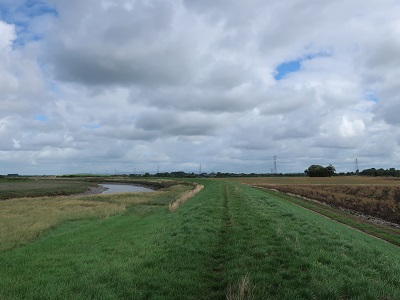
Asland or Douglas this was a significant waterway in the early 18th century. Before the advent of canals many rivers were engineered to make them navigable to small ships. The Douglas linked the coal fields near Wigan to the Ribble and Irish Sea. Its commercial life was short in that it was superseded by the Leeds-Liverpool Canal in the 1780s. Keep on the embankment for over half a mile and then drop to a stile next to a metal gate.
Keep to the fence on the left as you cross a field to a similar arrangement leading onto the bottom of Marsh Lane.

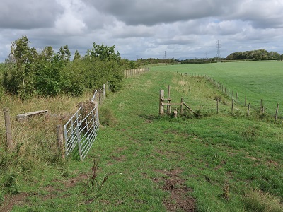
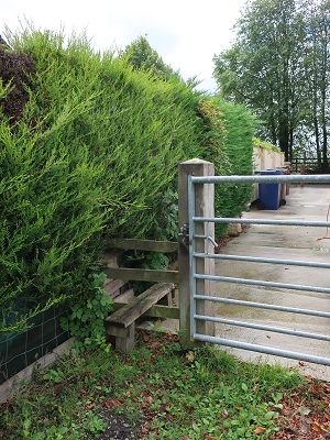
and then Marsh House Farm on the left. 140yds past this building turn right over a stile next to a metal gate.

Cross the field to a stile close to an old concrete gate.

Here the route crosses a disused railway line - the former Preston - Southport line. Once on the track go slightly right to locate the (obscure) stile opposite. The path continues across a large field towards a large farm complex. (Ravenskerne). Cross a stile
onto an enclosed path with a tall hedge to the right. Keep on this to arrive on a drive in front of a house.

Turn left and then after 40yds turn right over a stile onto another enclosed path
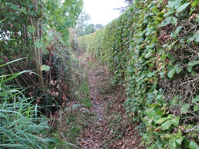
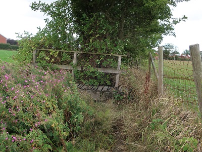
with a tall beech hedge to the right. After a plank footbridge enter a field and bear slightly left to a wooden footbridge.

From here follow the path alongside a hedge across two fields. After another wooden bridge continue to a corner with a small plank bridge. Cross it,
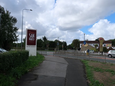
turn right and soon after pass through a gap onto Liverpool Road.
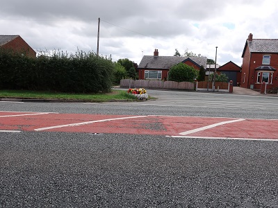
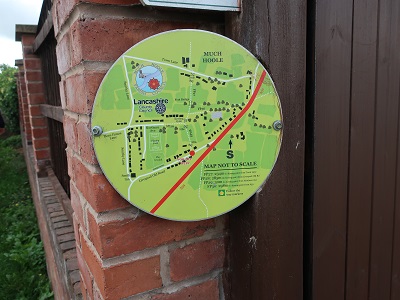
(There is a no traffic zone which in theory you ought to use as an island but take extreme care). Turn left into Liverpool Old Road. Keep to the right and after 100yds turn right onto a footpath with a helpful map displayed on the wall end.
At first on an enclosed path cross a field and after a stile go through a metal kissing gate.

Just after this cross a stile embedded in the hedgerow to the left of the main path. The path crosses to a footbridge

into a large field to the rear of a property. Aim for the right side of the house. A stile next to a metal gate
leads onto Town Lane. Turn right. Town Lane leads back to the A59 near San Marco's Restaurant.
Cross Liverpool Road at the traffic island to reach Liverpool Old Road. Follow this past St Michaels CofE Primary School

and back to the church.