
Fact File:
Time: 4 - 5 hours
Map: OS OL2 The Yorkshire Dales Southern & Western areas

Directions:

which steeply climbs away from the town and downgrades to a stony farm track.

Now on the Pennine Bridleway keep on it in the direction of Langcliffe until you come to a junction of paths ¼ mile after the edge of the town. Here turn right on a steep grassy path
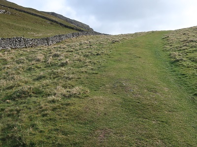
leading to a gateway. Through this and you enter dramatic limestone country almost reminiscent of a John Ford western. To the left the heights of Warrendale Knotts form a wall above the dry valley the route passes through. Ahead Attermire Scar

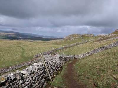
creates an impressive backdrop as the path drops to the remains of what use to be a shooting range. Remnants of rusting targets punctured with alarming shell holes can still be seen. Beyond this the way is left climbing through a rock strewn pasture to a small gate in the wall.

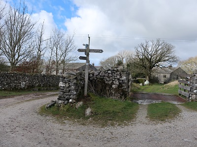
Through this continue northwards for a little under ½ mile to reach a path on the right leading up to Victoria Cave.
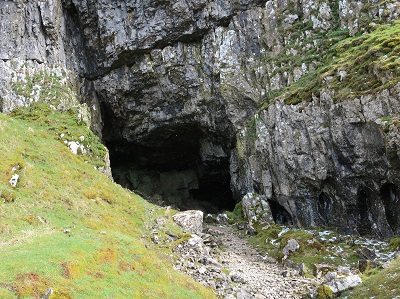
This cavern was discovered in 1837 the year of Queen Victoria's coronation. Returning to the main path continue to a kissing gate
leading down to a broad farm track. Turn right. After 150yds cross a ladder stile
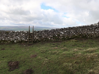
on the left. After a short distance as you reach a broad grassy path turn right following it to a small gate in a wall. Through this keep ahead to gently descend to a quiet unfenced road.

Turn right, cross a cattle grid and turn left onto a farm road which leads to Upper Winskill Farm. Just before the complex
turn right on a farm track in the direction of Stainforth following the Pennine Bridleway. After crossing the corner of an enclosure the track swings left through a gate

and descends to Stainforth.

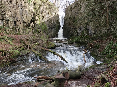
It would be remiss however not to visit Catrigg Force which is sign posted to the right of the main track just after a wooden gate.

The best view of the waterfall is from the wooded ravine below accessed by a path to the left of the upper fall.

keep straight to cross Stainforth Beck over a set of stepping stones.

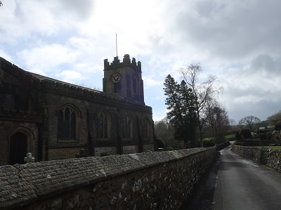
Turn left on Goat Lane and then right at the next junction to join Church Lane. This passes St Peter's Church
to arrive at the Settle - Horton Road B6479. Turn right. In a little under 200yds turn left onto a narrow lane

that crosses the Settle-Carlisle Railway and then descends to the River Ribble. Cross what is in retrospect is a most attractive bridge and then turn left

onto the riverside path taking you to another waterfall - Stainforth Force.

This suffers somewhat by comparison with the great (60ft) drop of Catrigg Force but is nonetheless a dramatic spectacle after (and during) wet weather. Now on the Ribble Way the direction is to follow it all the way back to Settle.

For most of the leg it stays in close contact with the river but at the weir
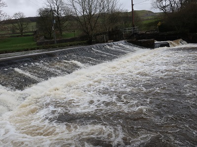
close to Langcliffe Mill it briefly moves away when the path turns right taking you into the hamlet of Stackhouse. Here turn left to follow the lane for ¼ mile when a footpath

on the left takes you across fields to the edge of Settle as heralded by the playing fields of Settle High School.