“Make the most of it while you can because you’ll never know when it might be taken away from you.” This piece of wisdom was given to me 20 years ago by my friend Malcolm McCulloch. At that time other commitments were such that he was unable to pursue his love of walking while I had just regaled him with an account of recent adventures in the Scottish Highlands. “Making the most of it” is a creed I live by now especially after a health scare made me question whether I would be able to go walking again. Luckily for us both Malcolm and I got back to walking – often together and over the last 11years we have enjoyed wonderful days in the great outdoors. But now everything has been “taken away” and not just from us but from everybody. Because of Covid-19 pubs, clubs, bars, restaurants, gyms, non-food shops, nurseries, schools, colleges, universities are closed. There is no sport of any kind anywhere. Normal social contact has been taken away too. We have to distance ourselves and self-isolate. “The best advice” the Prime Minister told us, “is to stay at home.” On Thursday 19th March as the actions to try to contain the outbreak were being ramped up he gave us the timeline of 12 weeks for the nation to get through the crisis. I have no doubt that there are more stringent measures to come which may create complete lock-down. It all rather makes the concept of a page that encourages walking outdoors rather inessential. But here’s the thing – the Great Outdoors will still be there when all this is over. You may not be able to go out now but in however long it takes you will be able to and with a refreshed appreciation of our beautiful countryside. The walks page will continue.

Fact File:

Directions:

Over the level crossing keep to the left of a modern apartment building to join a footpath leading into pastureland with a wall on the left. Follow path and wall to meet a wide track that is the Witton Weavers Way.
Turn right. Keep on the Way for a mile
to a point where it almost meets Greens Arms Road. 50yds short of it turn right onto a footpath taking you a through trees to the aforementioned Greens Arms Road and cross directly opposite

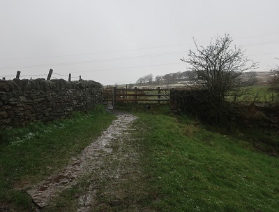
to a footpath crossing rough pasture leading down to Batridge Barn (Upper) car park above Turton & Entwistle Reservoir. As you reach the car park go left to pick up a flight of steps

taking you down to the shores of the reservoir close to its dam end.

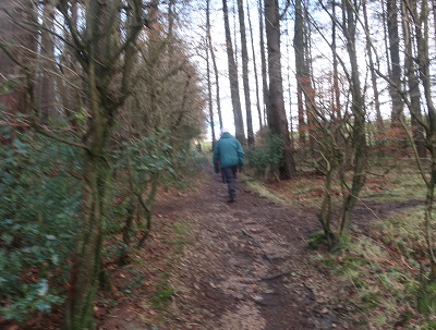
The next part of the walk almost completes a circuit of it. Turn left and follow the broad track along the shore. After 600yds the way enters a distinctive arm as the reservoir narrows below densely planted conifers towards Yarnsdale and its feeder stream. This always seem to me like a chunk of a highland glen placed here as part of some kind of cultural exchange. As with many parts of the West Pennine Moors choices are offered as you enter the valley. The stream can be crossed immediately at the end of the reservoir on a wooden footbridge or if you wish to enjoy the glen a little more there is a second footbridge 200yds further along. Whatever bridge is selected turn right on its far side and continue to hug the shore on a broad path. As the way enters the next bay there is a striking steel sculpture of a heron created by artist Marjan Wouda.

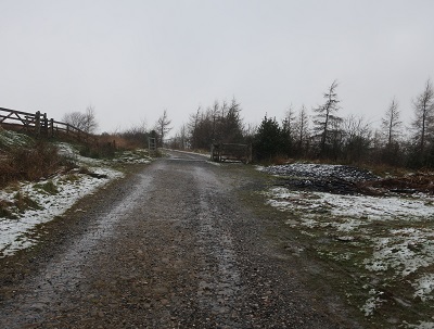
From here the path turns left into woodland and then right at the next junction of paths to return to the shore. After another half mile (some 300yds away from the dam end) turn left onto a path leading uphill through trees.
After an enclosed section it reaches a lane. Turn right. The lane leads to the Strawbury Duck a well known and popular hostelry in this area.

Turn left in front of the pub to follow a road across the railway with Entwistle Station on the left. Keep on the road until just before the causeway across the northern arm of Wayoh Reservoir. Here turn right through a kissing gate

onto a path that follows the shore. After rounding a point the path crosses a pedestrian causeway with a fine view of the railway viaduct to the right.

In half a mile when you arrive at the dam end

turn right onto a utilities service road and follow it to its junction with Greens Arms Road on the edge of Chapeltown. Turn left for the village centre.