
Distance: 4 miles
Grade: Mainly easy but with 600ft of ascent

Directions: From the front of the railway station turn right on Albert Road (A56) and walk down hill under the railway bridge and across Colne Water.

As the road bends slightly right cross to Primet Street (with Chinese takeaway on the corner)

and at an entrance to a commercial unit join an enclosed footpath to the left

which soon after follows the embankment of the railway line. In 300yds on the far side of playing fields the path intercepts a road. Turn left, cross the railway and then turn immediately right onto a cycle-path.

Keep on this as it takes you past Fishermore High School and then after crossing Gibfield Road Pendle View Primary School to arrive on Oxford Road in front of huge Pendle Vale Campus.

Walk along Oxford Road to its end then turn left onto Walton Lane. The cemetery is almost immediately on the left.

Follow its main drive to the chapel. The monument to the young women is on the main path leading away from the chapel's arch to the left of the path close to a junction.


Having viewed this sad memorial exit the cemetery on the right and continue up Walton Lane to the entrance of Marsden Park.

Here is a delightful amenity that if time allows should be explored at leisure.

One time part of the grounds of Marsden Old Hall the park was opened in 1912 and has a number of interesting features including a pseudo Roman bath house, a wishing gate and an Icosahedral sundial - only one of three to be seen in the UK.

turn left and follow the road round.)

Keep to the left of the club house and follow the waymark post onto the course itself.
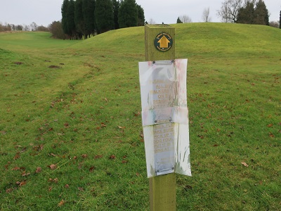
Keep to the left of a line of trees across an open space. Follow these up to the top of the course and then at another waymark post turn right

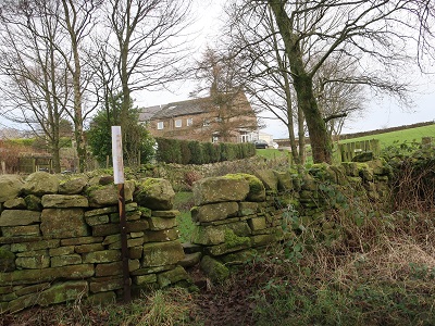
onto a footpath that skirts the course with the wall of a property on the left. The path follows this round to a stone stile giving access to Southfield Lane.
Incidentally the views across to Pendle Hill are magnificent which must make Marsden Park Golf Club one of the most scenic in the north of England.

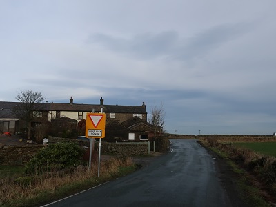
and walk on its right to face oncoming traffic. In 1/2 mile reach a junction with Back Lane.
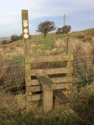
Turn left and then at the next corner cross a stile
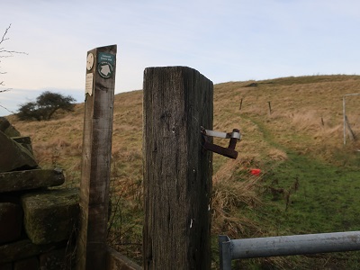
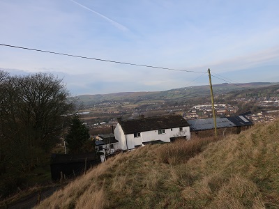
and follow a path leading up to the top of Castercliff a prominent height that was once an iron age fort. Needless to state those Brigantes had a good eye for where to locate their settlements as this is one of Lancashire's great viewpoints.

Less great is the next part of the route which ought to be a straightforward descent to Colne view Hubbs House Farm and Higher Knotts. From the top aim slightly to the left of a radio mast to pick up a stile
and then a farm track. So far so good. The problem is that at Hubbs House Farm there is an unresolved blockage to the right of way. On behalf of my readers I have pointed this out to the authorities so by the time this is published the way down will be clear. Follow the track passing both farms


until you reach Knotts Lane.

Should the track be still obstructed when you come to do this walk as you reach the track turn right and follow it until you are back on Southfield Lane. Turn left and keep left at the junction with Knotts Lane. It will add ½ mile to the total distance.