Start Hurstwood United Utilities car park BB10 3LF
Time: 2 ½ - 3 ½ hours

Directions:
and continue along retracing the way you entered on Hurstwood Lane. After the last dwellings on the right take a footpath

crossing elevated fields with a magnificent view of Pendle Hill to the north. The path which forms part of the Burnley Way takes you to the village of Worsthorne
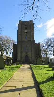
bringing you out opposite the rather imposing church.

Unsuitable for motor vehicles it may be but it has been described as "one of the finest moorland tracks in the country".
I know this because the words are mine! (See "100 Walks in Lancashire" Pub. Crowood Press 2015). So how have I arrived at this opinion. Firstly it unambiguously plants itself on the landscape.

Once on it you can put the map away and enjoy the scenery. Little wonder it forms part of the Pennine Bridleway. Secondly it takes you from the urban sprawl of north east Lancashire to the wild moors of the South Pennines. Finally there is something of an allure in the name "Gorple". With the hard "g" it seems as though it is describing somewhere substantial. Unfortunately on this walk you will never know because the route described doesn't go that far.

It is just before a depression cause by the tiny stream leading into Rams Clough. Make a note of the location and continue for a further 1/3 mile to a gate to be rewarded with a magnificent moorland panorama.
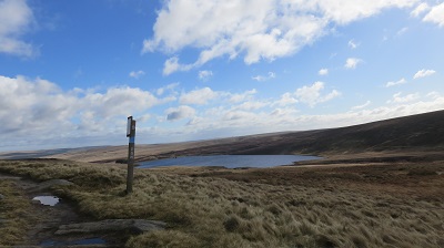
The only thing that detracts from this view is the fact that in passing through the gate you are now in Yor… That Other Place! With your passport stamped now return to worn path (now on your left).
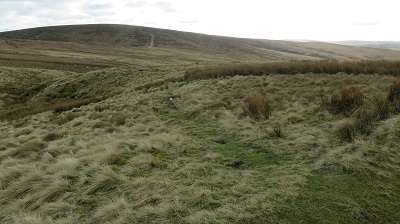
This is all the things that the Gorple Road isn't. It is far from definite and in some places as it nears Cant Clough Reservoir it becomes downright confusing as it threads its way through old mine workings. Aiming for the eastern tip of Cant Clough follow the way left when you find yourself by a grassy shelf that might have been a trackway for the mining. Then keep on a narrow path overlooked by tall hummocks.
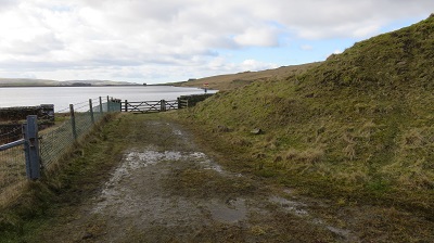
Once by the reservoir access a waterside path on the right of water that leads to the dam end.

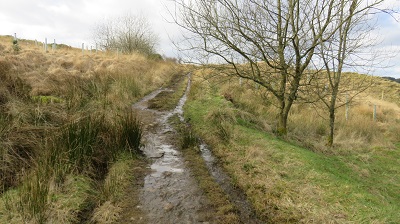
At the far side pass through a gate and follow a track leading right contouring the edge of Worsthorne Moor. After 500yds the track dips down to cross a stream with a junction just yond it. The stream is significant

for it is the infant river Brun which somehow gave Burnley its name. (So really Burnley should be called Brunley - I blame the English teachers for this lapse in basic literacy!) Turn right onto the path
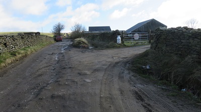
that leads up to Middle Pasture Farm.

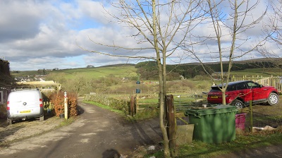
Continue on the farm's drive for half a mile. At a collection of dwellings on the right turn right
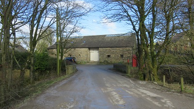
onto a track leading past a noisy dog and dipping to Foxstones Bridge. Climbing up through a wooded dell come back into Hurstwood close the the Hall and opposite Spencer's House named so because the Elizabethan Poet Edmund Spencer had some association with it.
