Stocks Reservoir was
constructed in the 1930s to supply Blackpool with drinking water. There is an
attractive walk that follows its shores closely. This route takes a wider
course to immerse you in the beautiful scenery of a remote part of Lancashire.
Distance: 8 miles
Summary: Although the walk involves 1000ft of ascent the gradients are gentle up and down.

Directions.

turn right and follow the road as it drops to the bridge across Croasdale Brook. Continue for another 200 yards to a stone stile on the left.
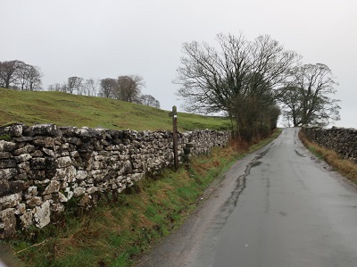
Cross this and then bearing left from the road in the direction of the sign post climb up to a wooded corner. Here a stone stile
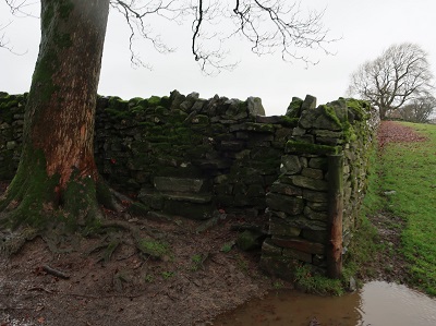
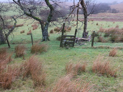
crosses into a large meadow. The path crosses to a wall on the far side but it may be best to follow the field edge on the right to begin with. After the next stone stile

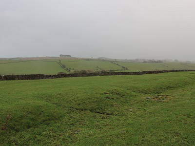
keep ahead over a wide expanse of fields keeping roughly parallel to the road over on your right. After crossing a wall and then a track the path dips towards Croasdale Brook. Cross a stone stile and continue to a high ladder stile.

Over this aim to the far left corner of the field to the left of a stone barn. A stone stile (or gate if you prefer)
puts you on the farm drive leading to Shay House. Go through a kissing gate opposite and with the brook on your left keep ahead soon to join a tarmac drive.

Follow this as it takes you towards Croasdale House. After passing out buildings on your right pass through a gateway and as you near the house turn right into a large field through a wooden kissing gate. Climb a rise to reach another gate at a field corner. In the next long field bear left away from telephone poles aiming towards an isolated field barn.

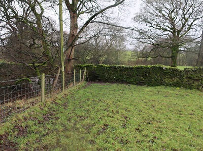
Just beyond this go through a gate and keep ahead across the next two fields skirting below a conifer plantation to the left. Pass through a wooden gate

into rough pasture and with the aid of a marker post aim for a corner bearing slightly right to reach the Bentham Road on a bend.

Cross a stone stile and join the road in effect turning left on it.

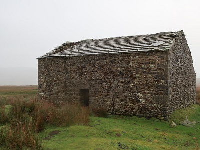
passing luxury B&B at Merrybent Hill. After a cattle grid and as you reach open moorland to the right bear right to the isolated barn marked Brunton Laithe
on the OS map. From here take a course parallel to the road on your left on an indistinct path leading downhill to a wooden stile in a fence.
Cross this and keep ahead to intercept a broad track that forms part of the Stocks Circular Path.
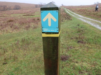
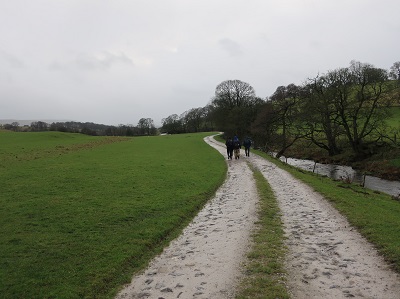
Turn right. For the next 2 ½ miles follow this fabulous track as it takes you to the far end of Stocks Reservoir. Enjoy! After a gate bear right where the track divides
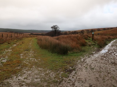
and continue unimpeded on a gentle descent

until you reach the fishing centre just beyond a jetty.


On the far side pass through a small car park onto a drive. Bear left. The road climbs an incline taking your through a Life for a Life woodland. 350yds further along the drive reaches a junction below an imposing house. Cross to a wooden gate leading onto the dam end of the reservoir.
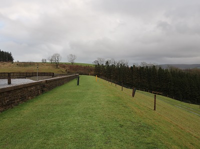
Climb to the top path and keep on the dam to reach a flight of steps. A short distance beyond these is a commemorative plaque

placed to mark the opening of the reservoir. Back to the steps at the bottom turn left and after crossing an overflow channel turn left through a wooden gate.

3. Immediately turn right over a stile to climb steeply away from the reservoir. After a second stile

cross a pasture towards a wall.
Before you reach it turn right on a grassy path. This descends towards ancient Hammerton Hall. Just before reaching the hall turn right onto a track


that will lead you past it
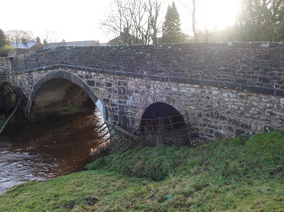
to Holmehead Bridge. Cross the Hodder and then after 100yds turn left in front of a wall

onto a path leading alongside it. When you reach the large open fields with Slaidburn in sight you maybe be tempted to keep straight ahead however the path swings to the right to
Croasdale Bridge from where you turn left for the village.