Time: 2½ - 3 ½ hours
Map: OL 41 Forest of Bowland

Map by kind permission of Johnston Press
1. Take the gravelly footpath leading west

from the car park past the memorial shelter (dedicated to Sue Morris.) After passing through a pair of wooden gates turn right in the direction of Fell End Farm. On a grassy bridleway

cross a rise to another wooden gate and then descend towards Fell End Farm an extensive cluster of buildings. After a gate in a tree studded fence turn right and follow the path across two large pastures to the left

of a corrugated metal barn to arrive on the drive of the farm. Turn left. In 250yds the drive reaches a tarmac lane end. Turn left through a metal gate on a well-made track.

After a second metal gate look for a wooden kissing gate on the right hand side ¼ mile from the start of this track.

At first there is a defined track to follow part way up the hill side. After this disappears continue climbing towards a tall stone pillar. (Purpose unknown - readers help!)

From here the way is clear to the trig point crossing a broad plateau to a metal gate in the wall and then follow the grassy track to the summit.

Admire the superlative view. From the trig point keep ahead to a wall corner

and then angle right passing The Tarn over to your right to pick up a well-made gravel track

that will take you downhill past a small reservoir

to Higher Lane.

On a junction keep ahead into Snowhill Lane and follow this as it takes you into the wooded surrounds of the Wyresdale Estate and across the motorway into Scorton.


and the bowling club. Turn left into Tithebarn Lane pass beneath the motorway

and keep on the lane as it climbs uphill and then bends to the left. Past the bend look for a metal kissing gate on the right.

Through this bear slightly left to another gate in a fence to the right of a corner. Still climbing cross the next field to Higher Lane. When you reach it turn right.

keep ahead to where the lane bends right. Here go straight to a wooden gate

onto a footpath that passes through trees to emerge onto a meadow and then intercepts a bridleway at a metal gate. Turn left through the gate to enter the lovely valley of Grize Dale. A broad track
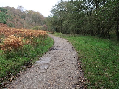
follows the valley bottom rising almost imperceptibly to the end of Grizedale Dock Reservoir in 3/4 mile.

Keep on the track until you come to a wooden kissing gate on the right with a directional post for Grizedale Bridge. Through this the permissive path follows the edge of two arms of the reservoir to enter Holme Wood. Doubtless after wet weather this is a damp and boggy place but there are a number of causeways

to assist you to go through it. As you reach the end climb a flight of steps

taking you into the rough pastureland close to the car park.