
Time: 2 - 2 ½ hours
Grade: Moderate. A gentle walk exploring a little visited part of Lancashire with a steep incline or two.
Maps: OS Explorer 287 The West Pennine Moors.

Directions.

crossing two stiles in quick succession. Dropping gently downhill at first with a hedge on the right bear right at a telephone pole to reach a field corner. Cross a stile

and cross the lane passing Westholme School to your right. As you reach Shorrock Farm to the left continue on a track past cottages to the right. Keep ahead edging a lawn

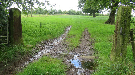
to a stile. Continue downhill with a fence on your left. After 150yds cross a stile on the left next to a metal gate and continue downhill with the hedge now on your right to a footbridge over Arley Brook.

Cross the brook and as you reach the top of the embankment turn left at first following the brook and then after a depression bear diagonally right to a stile next to the gate. Over this follow the hedge on your right past a farm house

to reach Lodge Wood. The path crosses a drive
and then leads up to a stile by a metal gate.

Cross the stile and follow the wall Woodfold Park Estate. After passing the front of the impressive house of Woodfold Hall Stud the path continues alongside the drive leading down to Further Lane. Here turn left.


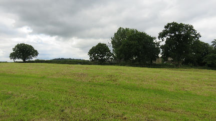
leading down to a stile and enter a large field. Keep ahead to a stile close to a metal gate. Beyond this the path swings right aiming towards Wallbanks House distinguished by a tall radio mast.
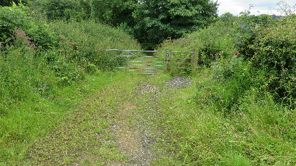
When you reach the lane turn left. You are now on Alum Scar Lane which leads down to Alum Scar Woods. 350yds after joining the lane bear left through a wooden side gate onto a broad track.
Soon this enters the dense woodland descending to a handsome stone bridge over Arley Brook.
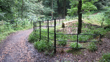
On the far side the track climbs steeply to emerge close to Alum Scar House.

leading towards Close Farm.

Just before the farm entrance turn left on a footpath that takes you across fields to Woodcock Hill Road. Here keep ahead onto the drive of Maiden House Farm.

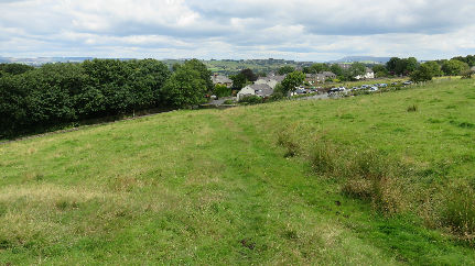
Keep ahead when the drive bends to the right. The path is well waymarked as you cross fields with the hedge line at first to the left. This path has an elevated feel as it give you fine views across to Darwen Tower. After the trail enters woods close to Butlers Delf

it turns left and then before a property turns right on a path leading up to a stile crossing into pastureland. Over this and keep heading up to the top of the hill.

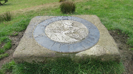
This modest height provides one of the best viewpoints in the whole of Lancashire. Little wonder then that the Wainwright Society should site a view pointer here in memory to one of Blackburn's most famous sons.
From the top keep ahead towards a stile close to a tree. Do not cross but turn left on a footpath that after a patch of woodland drops down to Pleasington Lane next to the Clog and Billycock.
In our view the best of all public footpaths - one that leads to a public house.