Lupton
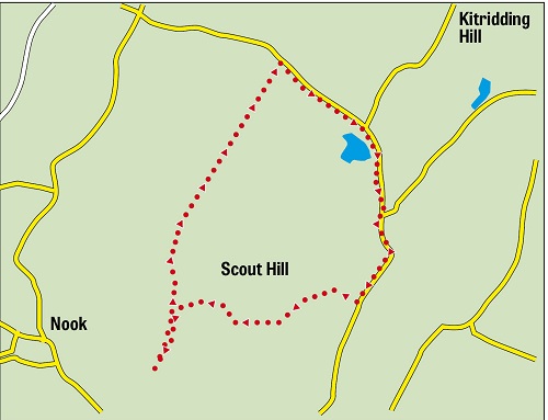
Last month Dotcom walker Jim arranged for a group of us to have a morning’s sport at Crabtree Shooting Ground, Lupton just off the A65 Kirkby Lonsdale Road. Given that for nearly everyone clay pigeon shooting was an entirely new activity we enjoyed a reasonable degree of success and even had some perfect scores. Surprisingly quite a number of Dotcoms elected to pay for extra shots. I say surprisingly because at £1 a shot it is not a cheap sport and we are all poor pensioners. Certainly clay pigeon shooting will feature in future programmes. Having gained permission to leave our cars there it was my task to plan a short walk from Crabtree Farm to complete our outing. So the route described below was contrived to fit our particular circumstances and yet it turned out to be one of the most scenic we have ever been on. In effect it is a circuit of Scout Hill an easily missed height to the north of the A65 but one that stands apart from other uplands. It is of modest height – just 285m/935ft. On the OS map there is no right of way shown to the summit so we did not attempt that on our walk. Instead we walked round it on bridleways, very quiet lanes and footpaths. It proved a great way to complete a thoroughly enjoyable day in the countryside.
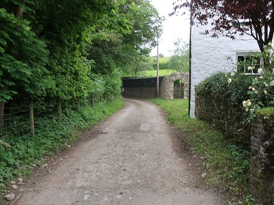
Start: Crabtree Farm Shooting Ground, Crabtree Lane, Lupton LA6 1PJ
Fact file: Distance 4 ½ miles
Time: 2 hours
Summary: Moderate
Map: OS OL7 The English Lakes South-eastern area
Map by kind permission of Johnston Press
Directions:
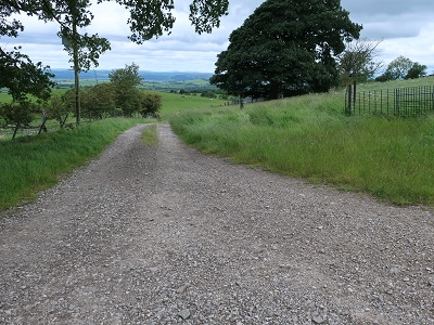
As you approach Crabtree Farm along Crabtree Lane keep ahead on a bridleway in the direction of Lupton High.
The track leads steeply with trees to the right for ¼ mile to a bend to the right. Near the end of the walk you will return to this point. For the outward leg go left through a metal gate into a large field.
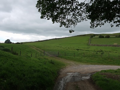
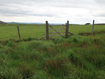
Climb aiming for the far left corner to a wooden gate.
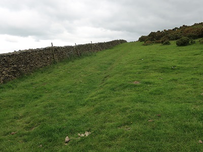
Through this the gradient eases as you follow the wall on the left below the heights of Scout Hill to your right. By now the merits of this route will have become obvious with a sublime panorama taking in the Lake District and the Howgills in a vast sweep of the north west. After crossing a rise continue following the wall as in passes through a metal gate
and dips to a fence before a short climb through Cragmire Plantation a scattering of pine trees.

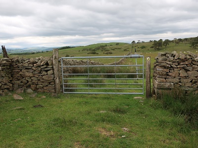
Still keeping close to the wall on the left drop down to a metal gate

leading onto a lane. "Lane" may strike you as too grand a name for this thoroughfare with grass growing in its middle
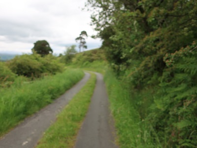
but lane it is in so much that it is suitable for motor traffic - just. Turn right and follow it as it takes you through more scenic beauty passing Tarnhouse Tarn
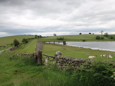
to the attractive farmhouse at High Row at the junction with Green Lane.
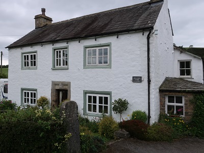
Keep ahead to the next cluster of buildings

Low Row Farm and Pant End.

¼ after these turn right onto a footpath with the finger sign post on the right almost obscured by the dense hedge. Keep to the left of the hedgerow ahead

and then bear left up a rise to a stile in a wire fence.

Broadly following the direction of the waymark and edging along the top of the rise cross a wide pasture to a ladder stile.

Incidentally the view of the western Yorkshire Dales looking back from here is almost equal to the earlier one of the Lake District. Cross the next field maintaining the general westerly direction you have followed since leaving the lane through rather dense grass and with no obvious path to arrive at a wooden gate in a wire fence.
From here bear left to pick up a bridleway by a metal gate.

Go through the gate to reach High Lupton a farm.
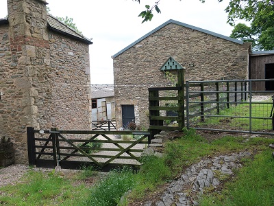
At the farm go left through a gate between buildings and cross the yard to join the track
that will soon return you to Crabtree Lane.
Note: Following the route is one matter - getting to the start is another. One way would be to have a go at clay pigeon shooting on the weekly opening days of Wednesday or Saturdays. See http://www.crabtreeclayshoot.co.uk for details. From experience I know you'll be warmly welcomed and have friendly and patient instruction. If you intend trying the route without clay pigeon shooting I ask readers first ask permission by phoning Edward on 07970 065667. Alternatively you could park at the Plough opposite Crabtree Lane and start from there again seeking permission to leave your car. See https://theploughatlupton.co.uk for contact details. Another suggestion is to consider using the bus - Route 567 between Kendal and Kirkby Lonsdale with careful study of the timetable as there are only 6 or 7 buses a day.