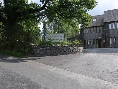
Finish: Hawkshead village centre LA22 0NT
Fact file:
Time: 4 ½ - 6 hours
Map: OS OL7 The English Lakes South eastern area

Map by kind permission of Johnston Press
and soon after cross the Haverthwaite and Lakeside Railway line. Immediately after the bridge turn left on a drive leading to properties.

Keep on the drive as it downgrades to a track leading into woods. After a stile by a wooden gate continue on a well waymarked public footpath climbing gently through a wood. At a ladder stile
exit the wood and keep ahead crossing a line of four fields in a broad corridor between trees to reach the church at Finsthwaite.
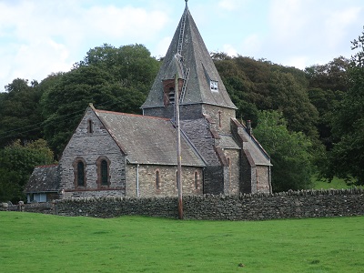
In front of the church turn left on a lane leading into the village. Where the lane forks go left and on reaching what counts as the main road turn left and then immediately right on a footpath
in the direction of High Dam which is signed as being ½ a mile away. The way passes to the right of a static caravan

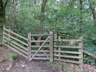
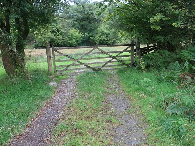
and continues through pasture to enter woodland at a wooden gate.
Follow the path as it climbs upwards and soon after joins the main track leading up to High Dam. High Dam is a beautiful tarn.

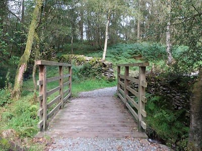
An unobtrusive dam created it to supply water to a bobbin mill in Finsthwaite. The bobbin mill is long gone but has left this delightful legacy. Keep left when you arrive at the tarn and follow the track to a footpath junction just after a bridge of sorts.
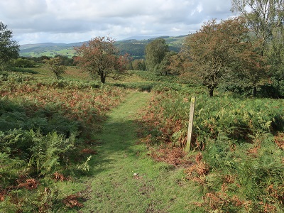
Turn left and soon after quit the trees to cross a broad ridge with rocky outcrops

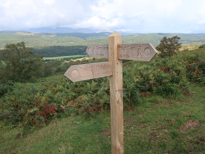
and sublime views of a great chunk of Lakeland. Keep on the path until you reach a signpost just after a wall indicating Crosslands is ½ mile further on.
On a waymarked path
drop down the hillside until you come to a lane.

Turn left for Crosslands. Go through the hamlet to a junction with the Grizedale Road.
To the left almost opposite take a footpath that leads across fields skirting the left side of a wood to a narrow lane.

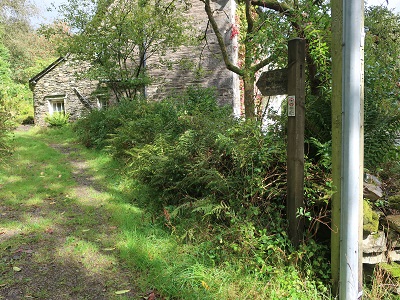
Turn right and follow the road as it brings you to a junction. Turn right. At the next junction keep straight ahead on a path leading up to Rusland Church.

As you enter the grounds Arthur Ransome's grave to the right.

and keep on it for almost ¾ mile as it passes through woods and then over more open ground.

At a bridleway signpost turn left for Force Forge.

When you reach a road

turn left again and after 200yds close to property turn right
on a footpath that takes you to the Grizedale Road at Low Bowkerstead.

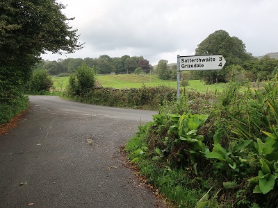
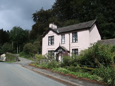
Turn left and keep on the road to Satterthwaite where refreshments are available the Eagle's Head

the last pub for some considerable distance at its billboards point out. Go through the village, pass the church and then turn left onto a bridleway taking you over Sawry Bridge and in
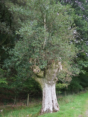
½ mile brings to the edge of Grizedale Forest at a remarkable tree where holly has grown through the bole of a near-dead ash.
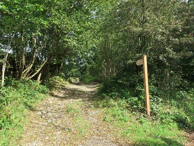
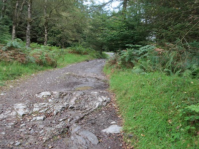
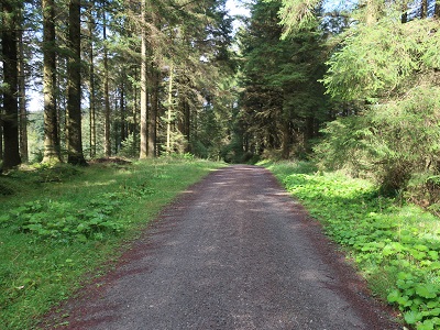
Keep on the main track

for over a mile until you reach Grizedale Visitor Centre.

This climbs between dense groves of conifers
levelling off close to an elongated reedy pond. At the junction of tracks go left
and then in another ¼ mile bear left onto a narrower signed bridleway. This joins another forestry track
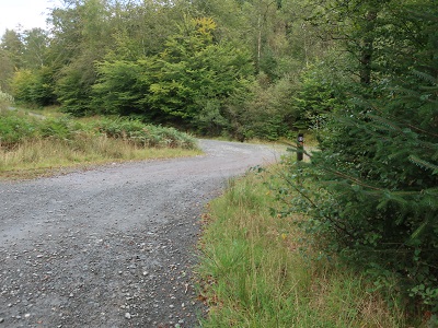
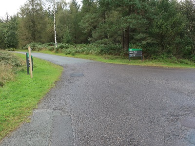
which leads to the road to Hawkshead at Moor Top. Turn right on the road and then left at Moor Top car park.
Re-entering forest stay right at the next two junctions

in the direction of Hawkshead and enjoy a lovely gentle descent
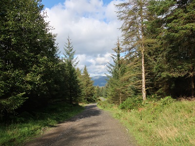
into one of the District's most attractive villages.
