Distance: 3.7 miles 6k
Grade: Easy

Map by kind permission of Johnston Press
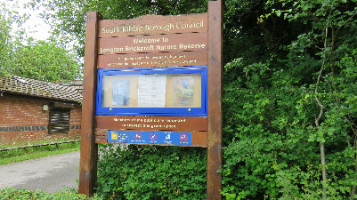
Directions: The Brickcroft is a charming amenity so it will be well worth your while to do a circuit of the south pond.

Once done leave the reserve by the main entrance on Liverpool Road and cross to Hall Lane.

Follow this past properties old and new for ¾ mile until you arrive at the sewage works.

Here keep ahead on a track which close to a prominent mast enters trees. In summer months this section has a tendency to be overgrown, although after the publication of this walk it will have been trodden down by the great army of readers who follow my routes! After a stile

keep ahead to the large complex of Marsh Farm.
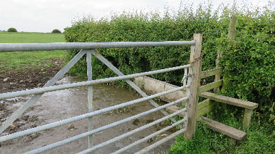
Go through the farm to arrive on Hall Carr Lane. Turn left. Walk 150yds and then turn right over a stile by a metal gate.

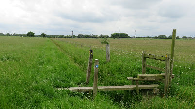
Cross the field to a similar arrangement close to an excessively muddy corner.
From here follow the fence on the right and then cross to a wooden footbridge.

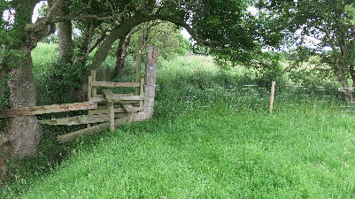
Beyond this surmount the embankment overlooking Longton Marsh.Here a mere 15ft above sea level the views are remarkably extensive. To the north the Bowland Fells pride a backdrop to Preston while to the east the West Pennine Moors are easily identified with the mast of Winter Hill providing a marker. Walk along the embankment for a little under 400yds then near a bench turn right

and drop to a stile. Over this follow the track onto Marsh Lane and soon after reach the Dolphin pub locally nicknamed "The Flying Fish" because of its distinctive sign.

Keep ahead on the lane for 400yds to reach the junction with Hall Carr Lane.
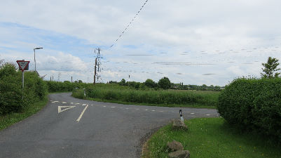
Turn right. In 100yds turn left onto a footpath leading across a very flat landscape. Local legend has it that this byway is an ancient one - its straightness attributed to Roman civil engineering. It is well way marked at first with a fence on the right.

Across to the right you will notice the sewage works and mast seen on the outward leg. After a plank bridge stile arrangement follow the fence to the left and cross a stile on the left at the next corner. Resume the direction of travel (eastwards) bearing right at the end of a remnant hedge. Cross a wooden stile in the next corner
and keep ahead through tall grass to reach a hedge.

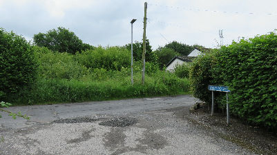
Keeping this too your left continue to reach a sign post at a junction of paths.
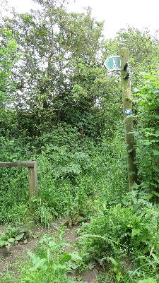
Keep straight (though the right branch taking you over a footbridge will put you on Hall Lane but is far less fun.) At the time of writing (June 2016) the final section of the footpath was densely overgrown with nettle, bramble and low hanging branches. Those of you who use poles will now find these come into their own as you push a way through. A stile marks the end of this adventure.

It will take you past garages
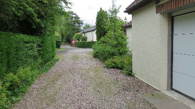
and to the end of Meadowhead Lane. Turn right on this and then left at Hall Lane
to arrive soon after at the Brickcroft.
The Ribble Way is a long distance path following the river from the sea to its source on a 70 mile trail. It starts (or ends) at the Dolphin Inn.
