Finish: Silverdale Railway Station

Map by kind permission of Johnston Press

Less than 100yards from the river turn right onto a drive way leading past cottages on the left. Keep on this as it brings you to pastures.
Go through a wooden kissing gate and keep straight to another. On the obvious track continue to a metal kissing gate
leading into a residential area. Turn right. At the end of the road turn left on a narrow path leading into open space close to the Malt Shovels pub. Turn right to reach the centre of Warton. Pass the church on the left

and soon after the George Washington pub. Turn the next left onto Crag Road. This lane climbs steeply away from the village. After 200 yds turn right onto a footpath leading into Warton Crag local nature reserve.
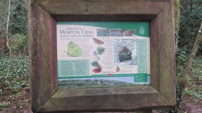
This area has a multiplicity of paths (as indeed the whole of the AONB has) and it is easy to become confused especially in wooded sections. Take the path at right angles to the road and at a junction 70 yds in turn left onto a broad rocky track

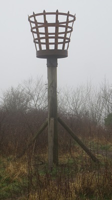
that follows the edge of the escarpment to your left. Keep on this for almost 600yds to reach a fence and gate overlooking a car park. Pass through the gate and then take a narrow path on the right leading towards the highest part of the hill.This threads its way through and sometimes over limestone outcrops. Where the path forks bear right and after a wooden stile scramble up a low cliff onto a broad grassy shelf. Again bear right when the path forks to arrive at the summit adorned with a trig point

and a tall beacon.

This drops gently over 600yds to reach a bridleway. Go through a wooden gate
and turn left. Continue the descent

until you arrive back on Crag Lane in a little over ½ mile. Turn right. Keep on the lane to its junction with the Warton Road at Moss Farm.

Keep ahead on the road to the Silverdale sign and turn left along a broad track. After passing under the railway

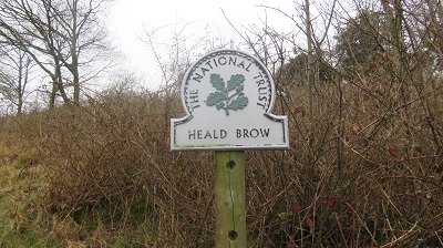
turn right to cross a channel following the Lancashire Coastal Way. Now follow a raised embankment as it loops around fields to arrive at a crossroads of paths below Heald Brow.

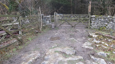
The path climbs steeply to a wall entering National Trust land. Keep ahead coming open space and a wall. Cross the wall by a stone stile and keep ahead across two large fields

with a wall to your left. A small wooden gate lead to an enclosed path bringing you to Hollins Lane. Turn right and immdeiately left onto a path into more National Trust property - Woodwell Cliff.

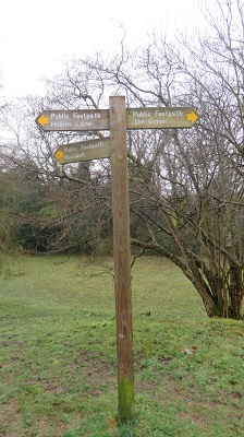
Keep right following an upper path through trees. When you reach open ground follow a signpost in the direction of the Green. This brings you to a fence enclosed path
leading to a drive. At the end of the drive turn right on a lane. Past a footpath sign and turn left at a junction into the Green
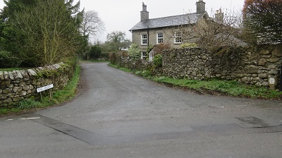
between properties that loops right to reach Bottoms Lane.

Turn left. Take the next footpath on the right
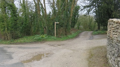
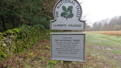
and keep on the track to enter woodland. Follow this as it bends left and arrives at Lamberts Meadow oened by guess who - got it in one the National Trust.
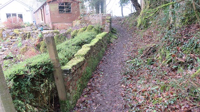
After entering the meadow cross a walkway to the right

and passing through a gate entering more woods. This climbs steeply at first and
continues to the Row. Turn right and then take the next footpath on the left to cross Silverdale Golf Course.

Take all sensible precautions not to be hit by flying golf balls

following the clearly marked path to Red Bridge Lane. Turn right for the station.