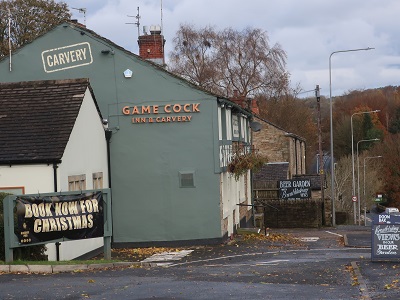
As with all pub walks readers must seek permission to use the car park before setting out. Permission is normally granted if you indicate you intend to spend custom at the inn after the walk.
Fact File:
Time: 2 hours
Map: OS Explorer 287 The West Pennine Moors
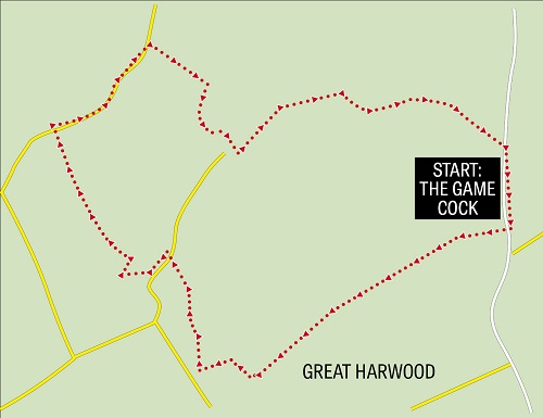
Directions: From the car park cross the busy A680 and turn right onto the pavement. Follow the road for 300yds and then re-cross Whalley Road to a drive entrance.

As the drive reaches open fields the footpath divides. Here go through a kissing gate to the left.

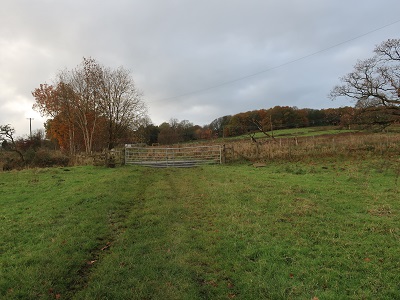
With a fence to the right cross a large pasture to a metal gate on the far side to join a drive.
Keep left on this and continue as it

brings you to Great Harwood's War Memorial Park and Playing Fields. The War Memorial a simple obelisk lists the names of 372 servicemen killed in World War 1 from the district. A good number of these would have belonged to the 11th Battalion of the East Lancashire regiment - "the Accrington Pals" which suffered devastating casualties on 1st July 1916 - the first day of the Battle of the Somme.

Having viewed the monument perhaps in a sober mood turn right just beyond it onto Hindle Fold Lane. Follow this uphill bearing left in front of a yellow grit bin

and after 150 yards turn right onto Upper Cliffe.

Keep ahead to the entrance of the last property and cross a stile on the right.

Continuing in the same direction keep right through a gateway and with hedgerow to the left cross to a fringe of woodland and a stile leading onto Tan House Lane.
Cross the lane and a second stile and follow the footpath uphill with the wall of a property to the right. Cross a wooden stile

and follow the wall to the right to Dean Lane. Turn left. After 150yds turn right

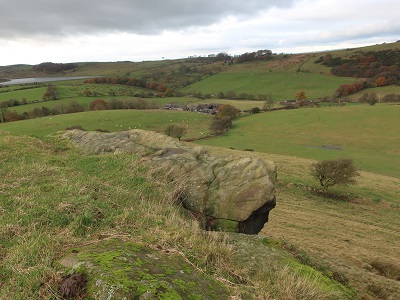
on a footpath that quickly brings you to the slopes of Bowley Hill. While there appears no formal right of way to the top the landowner has thoughtfully provided a stile in the fence so walkers can take advantage of this superb summit - yep it is in that category "one of the finest viewpoints in …Lancashire/North of England/the Universe!"

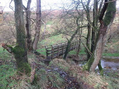
Across this follow the wall on the right across two fields. After the second the path bears left to descend to a footbridge spanning Dean Brook.
On the far side go right cross a stile at keep left following the wall up to Shawcliffe Lane.

Turn right. Keep on the lane for a little over 500yds. After passing a footpath sign on the left turn right just in front of some farm outbuildings

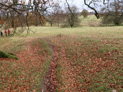
onto a path leading into pastureland. Descend across two fields to reach an enclosed bridleway.

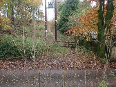
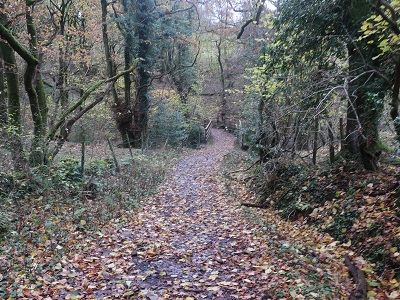
Turn right. Keep on this as it takes you into Dean Wood,
re-crosses Dean Brook and ascends to the entrance of Bowley Scout Camp.


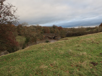
to arrive at a large open space. Keep ahead with Dean Wood across to the left to intercept a track
above the River Calder. On reaching it turn right and after a wall drop to the river side.
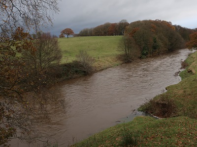
The path here will take you back to the Game Cock. As you near Cock Bridge
bear right towards the complex of buildings close to the inn.