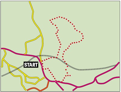
Fact File:
Time: 4 - 5 hours
Map: OS Explorer 287 West Pennine Moors
Map by kind permission of Johnston Press

From here you'll see one of the most iconic views in the county - the long drive up to the crouched silhouette of the tower itself.

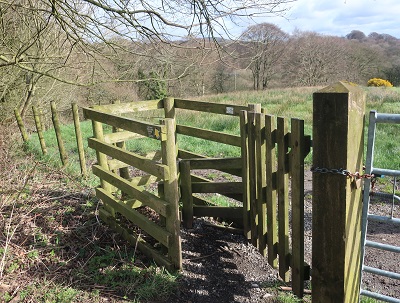
Cross to the drive and walk up it imagining as you do so how King James must have been looking forward to his plate of beef. After 250yds just as the drive enters the private estate turn right onto a path leading to a metal kissing gate

and a large field. Keep slightly left climbing gently to a wooden gate. The track here once passed through a strip of woodland but the trees to the left have been cleared. After a metal gate keep ahead to a gate next to a dead oak tree and through this descend gently to a gate in the far left corner that brings you to a track leading back to the A675 at Riley Green.
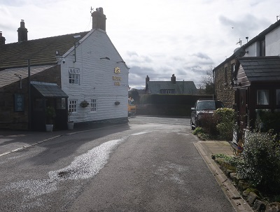
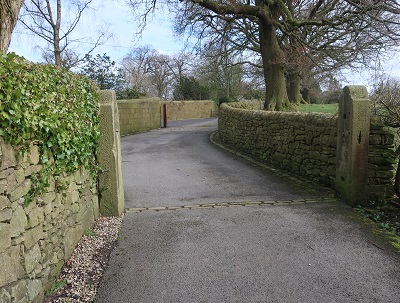
At the Royal Arms turn left. Now on the A6061 continue for ¼ mile and turn left onto a broad drive.

(Not quite as impressive as Hoghton Tower's) This leads down to an isolated property. After the drive bends to the right enter pasture land through a wooden kissing gate
(alas in these days of social distance no kissing allowed) next to a metal gate. Follow a rough farm track

as it descends through a band of woodland to reach the River Darwen in a quiet and secluded valley.

flowing down into a rocky gorge crossed by a short viaduct - the main pillar of which is reputed to be the tallest in the country at 116ft above the river.

Pass below the viaduct and arrive at the old industrial settlement of Hoghton Bottoms.

The industry is long gone and the mill converted to dwellings. Keep ahead on the lane
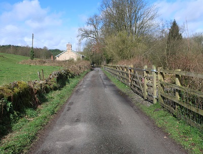
for about 600yds to where it swings left to go uphill to Hoghton. Here bear right to enter another part of the settlement close to Hoghton Hall. Follow the lane as it bends slightly right and then cross the River Darwen over a green metal footbridge

just past the last house on the left. Keep ahead passing in front of an old farmhouse and then turn left following an improving track with the river on the left. After a scout hut

on the right the path commences the longest climb of the walk up to Close Farm and Alum Scar House.

with fine views of the wooded valley. Higher up passing through gorse the path crosses a wall at a wooden stile to enter a huge field. Keep climbing aiming to buildings away to the left and eventually arrive at Close Farm. The route stays left of the house and picks up a drive passing a property bedecked with security camera. At a junction keep left
passing the front of Alum Scar House to join a rocky and sometimes slippery track leading down to the wooded valley

of Arley Brook crossed by a well-made stone bridge. On the far side climb up

to join a lane

and keep ahead for ½ mile to the junction with Further Lane.

Turn left. Another 700yds of lane walking brings you to Nab's Head.

After reaching this settlement turn left to descend once more to the River Darwen and another stand-alone settlement - Samlesbury Bottoms.


that reunites you with the river close to an impressive weir.

The path follows the Darwen for ¼ mile upstream

and then turns right crosses a stile to join a track that climbs alongside a wall with Wild Bottom's Wood on the left.

After passing through a gateway keep ahead to join a farm track leading to Bolton Hall. Pass to the right of the hall to reach tall metal gates. A pedestrian side gate puts you on a tarmac lane. Keep on this for ½ mile to its junction with Chapel Lane.

Turn right. Chapel Lane passes a chapel,
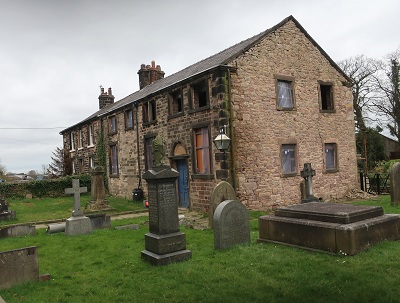
crosses the railway and returns you to the A675. Turn left for the starting point.