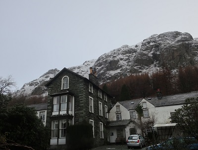
In the latter years of the 19th century it was called Middlefell Inn and run by John Bennett who supplemented income from the inn and adjoining farm as a tourist guide. In 1900 the inn was bought by the historian G.M. Trevelyan who soon after gave the property to the National Trust. By 1949 the farming side of the business was wound up and the shippon was refurbished as a climbers bar. In the years that followed all the climbing clubs in the country held their club dinners at the Old Dungeon Ghyll (affectionately referred to as “the ODG”) with some well-known personalities among the guests – Sir John Hunt (who led the first ascent of Everest expedition in 1953), Joe Brown, Don Whillans and Chris Bonington to name but a few. It is easy to see why the ODG attracted such a clientele – it is situated below some of the most challenging crags this country has to offer. The walk described below ventures nowhere near those crags but takes you to a viewpoint where they can be appreciated and it is not without its own challenges.

Fact File:
Time: 2 ½ -3 ½ hours
Map: OS OL6 The English Lakes South western area.

Map by kind permission of Johnston Press

that enters the rear of Great Langdale National Trust Campsite. Almost immediately take a footpath on the right that begins to climb away from the valley bottom through a patch of woodland.
Keep on this path as it climbs more steeply onto the open fell

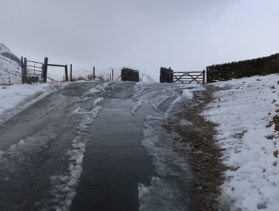
and reunites you with the road as it levels off close to a cattle grid.

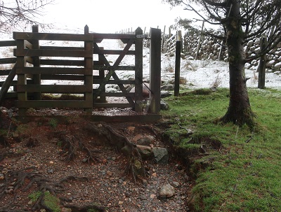
The steep climb is but a prelude to the one you are about to follow to the summit of Side Pike. The signpost indicates that it is ¼ away which for most walkers is not very far. What is not indicated that most of this is near vertical ascent! It is worth pointing out that Side Pike can be avoided all together by continuing along the road for another ¼ mile then taking a footpath on the left which joins a wall and follows it to the ridge but this is the pedestrian option and will deny the reader of spectacle and splendour. So the way is left onto a path

that takes you up the spine so to speak and with an immediate payback of sublime views down Mickleden the great valley shaped by glaciers at the end of the last ice age. To the left Bowfell and Esk Pike both a little below 3000ft give a sense of the scale of the mountain landscape while the Langdale Pikes to the right give it drama. All this will be behind you as you progress to the top so keep turning around. (Carefully!) The summit allows you rest and a chance to take it all in.


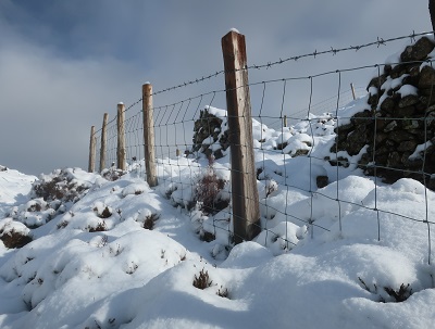
will put you on the ridge next to a wall. For the route to Brown How, Lingmoor's summit the wall becomes your reference point.

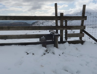
At first it is on your left but after 300metres cross a stile
and then continue with the wall on your right. The route takes you over or alongside a succession of "bumps" to the top. Lingmoor Tarn down on your left signals that you are closing in on the objective as will the end of the wall and a wire fence.
While Brown How lacks the dramatic punch of Side Pike nonetheless it provides you with a wide panorama incorporating much of the Lake District and beyond.

Through this follow a path of sorts with a fence to the right.

In 250yds this intercepts a path coming down from old quarry workings. Turn right and after the next stile

at the head of a tree filled gully bear left to join a path that will lead you back

to the road.
Turn right for the ODG.